Reservoir walks in Low Bradfield
Located to the northwest of Sheffield, the village of Low Bradfield is surrounded by four reservoirs. The closest of the four are Agden and Damflask, and the village is a great starting point for a picturesque waterside walk round one or the other – or both.
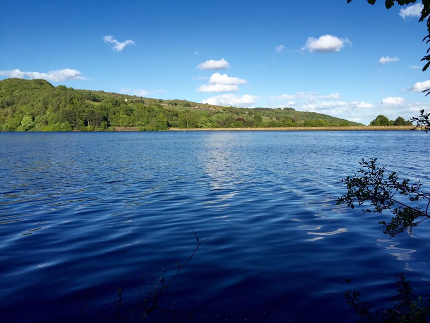
Agden means ‘valley of the oak trees’ and the reservoir here was completed in 1869, holding 560 million gallons of water. A circular, anti-clockwise walk around the reservoir is 2.5 miles (which should take around 1 hour 15 minutes), on designated paths, quiet roads and Yorkshire Water permissive paths.
While mostly level, the paths are natural trails and can be muddy in wet weather and, in places, uneven with tree roots that can be slippery. There are also a couple of sections where the path climbs above the water line with a drop to the side.
From the car park in Low Bradfield, take the path running behind the car park to the stream, following the path over a wooden footbridge and climbing the steps up the other side of the bank. Continue uphill to the road, where you turn left towards Agden dam wall and cross a bridge towards the entrance to the Yorkshire Water permissive path on the left.
With the reservoir on your left, follow the path up to a wooden gate and turn left onto a track. Stay on this track until the reservoir turns into a stream and keep an eye out for a wooden footbridge to the left – it can be difficult to see this path to the bridge, but if you come to a fenced area on your right with a sign for Agden Bog, you’ve gone a little too far.
Take the path on the left down to the river, through a gate and across the wooden bridge. Climb gently uphill through woodland until you're on a high path above the water level – where you'll be treated to a great view across the reservoir.
A signpost will direct you left, back down towards the water level, and the path will eventually emerge onto a road. Turn left here, past the dam wall, and at the road junction follow the sign to the left back to Low Bradfield.
For a walk of a similar length that follows a hard-packed easy access path – more suited to pushchairs, wheelchairs and very young children – go for the 3.5 mile (approx. 2 hours) walk around Damflask reservoir to the other side of the village. Or if you're after something longer (approx. 6 miles), combine a circuit of both Agden and Damflask reservoirs. For more information on walks in the area and route maps, visit the excellent Bradfield – Walkers are Welcome site.
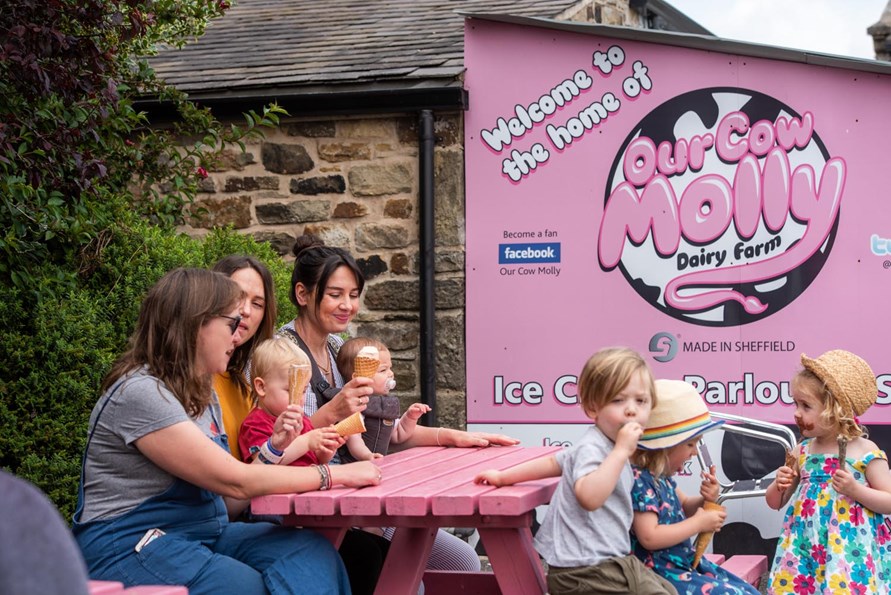
After the walk, enjoy the choice refreshments on offer in the village at the likes of The Schoolrooms, Flask End or The Plough, or take a short drive out to the famous Our Cow Molly ice cream parlour.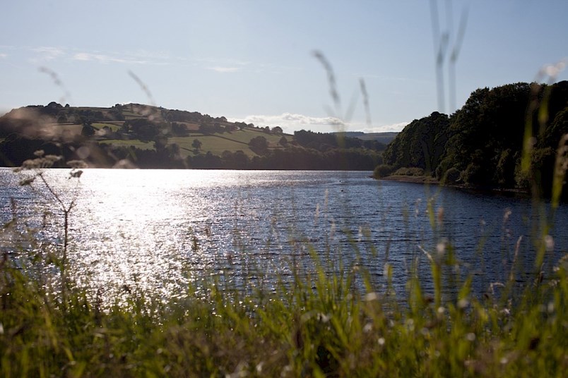
Public transport: 61 or 62 bus.
Parking: The Sands, S6 6LA (marked on map below).
Route map: Agden route / Damflask route, via Bradfield Walkers are Welcome.
Recommended OS map: Dark Peak Area (OL 1).
Useful links: Yorkshire Water info Damflask.
Where to eat & drink: The Schoolrooms butchery, deli and cafe.
Flask End Cafe.
Our Cow Molly ice cream parlour, Dungworth.
The Plough in Low Bradfield.
A beer garden with a view at The Old Horns Inn in High Bradfield.
The Nags Head near Damflask dam wall – Bradfield Brewery's first tap pub.